Travel Guide of Mount Ruapehu in New Zealand by Influencers and Travelers
Mount Ruapehu is an active stratovolcano at the southern end of the Taupo Volcanic Zone in New Zealand. It is 23 kilometres northeast of Ohakune and 23 km southwest of the southern shore of Lake Taupo, within Tongariro National Park.
Pictures and Stories of Mount Ruapehu from Influencers
8 pictures of Mount Ruapehu from Ryan Clark, Jefferson Santos, Alex Green and other travelers
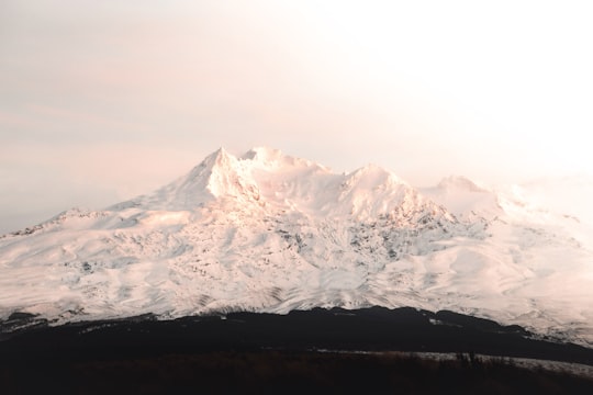
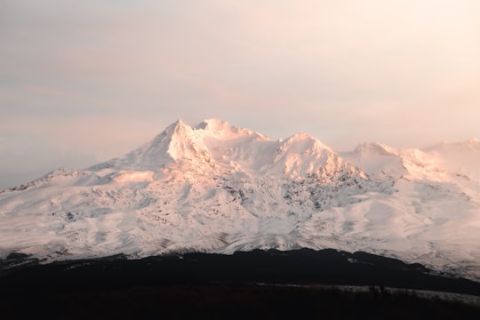
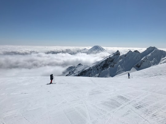
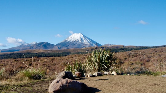
- Mount Ruapehu covered in snow ...click to read more
- Experienced by @Ryan Clark | ©Unsplash
Plan your trip in Mount Ruapehu with AI 🤖 🗺
Roadtrips.ai is a AI powered trip planner that you can use to generate a customized trip itinerary for any destination in New Zealand in just one clickJust write your activities preferences, budget and number of days travelling and our artificial intelligence will do the rest for you
👉 Use the AI Trip Planner
Book your Travel Experience at Mount Ruapehu
Discover the best tours and activities around Mount Ruapehu, New Zealand and book your travel experience today with our booking partners
Map of Mount Ruapehu
View Mount Ruapehu on a map with the closest popular places nearby
More Travel spots to explore around Mount Ruapehu
Click on the pictures to learn more about the places and to get directions
Discover more travel spots to explore around Mount Ruapehu
❄️ Glacial landform spots 🌲 Ecoregion spots 🛣️ Road trip spots Skiing spots ⛰️ Summit spotsLearn More about Mount Ruapehu
Mount Ruapehu is one of the active volcanoes on the volcanic plateau of Tongariro National Park. It is also the highest peak on the North Island of New Zealand at 2,797 metres.
The volcano last erupted in the mid-1990s. If volcanic activity permits, it is possible to hike to its summit.
The hike starts at the Whakapapa ski resort. The trail follows a wide path that leads to the start of the chairlift.
Here there are two options: either take the chairlift or continue on foot.
At the start the trail is not marked at all, so you have to follow the rough directions in the national park brochure. You can see a kind of concrete path that covers the rocks.
Then, the semblance of a path quickly gives way to a steep climb among the rocks. The colour of the rocks will remind you that you are in a volcanic environment. After an hour's climb, you will reach the terminus of the Knoll Ridge chairlift.
From here, two hikes are possible: on the left the Skyline hike and on the right the summit of Mount Ruapehu.
It's a slow climb, as it's very steep, but the views are magnificent under a cloudless sky and will encourage you.
You can see Mount Tongariro and Mount Ngauruhoe rising like warts from the rugged plain. The volcanic activity of the area offers us extraordinary landscapes with yellow, orange and red rocks.
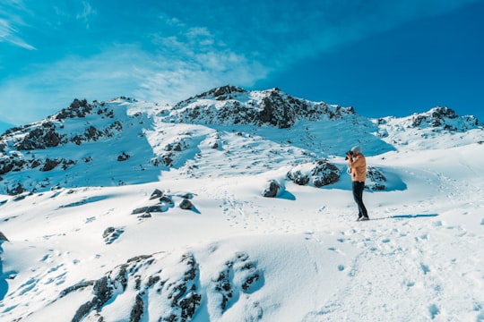
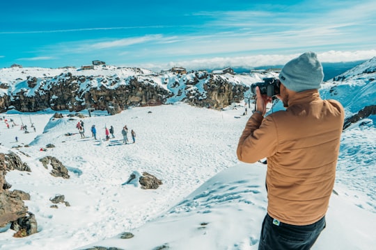
After two hours of climbing, you will eventually reach the summit, on the edge of a huge expanse of ice. It is surprising to discover glaciers on top of a volcano: it is the only glacier on the North Island.
Finally, walk along the ridge to reach the hut which can be seen in the distance.
The view from the refuge is impressive. It is located at the end of the ridge overlooking the water-filled crater surrounded by snow. The lake can vary in temperature and colour depending on volcanic activity.
It is also common during major eruptions for the lake to empty in part or in full in the form of a lahar, a huge mudflow.
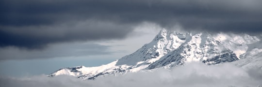
The sun sets on a sea of clouds that gradually invades the plain.
If you like adventure and nature, go to Mount Ruapehu.
Frequently Asked Questions by Travelers planning a trip to Mount Ruapehu
Before hiking Mount Ruapehu, be sure to take certain precautions, such as :
At Mount Ruapehu, the hike is about 7km.
The difficulty of the hike is rather high due to the significant difference in altitude (600-700m).
Moreover, the terrain is bad, it is mainly rocky.
Finally, the hike is almost not marked: you need a map or an app to find your way.
Where to Stay near Mount Ruapehu
Discover the best hotels around Mount Ruapehu, New Zealand and book your stay today with our booking partner booking.com
Popular destinations near Mount Ruapehu
Disover the best Instagram Spots around Mount Ruapehu here
